Lefkada’s Entrance: Santa Maura, the Bridge, and the Lagoon
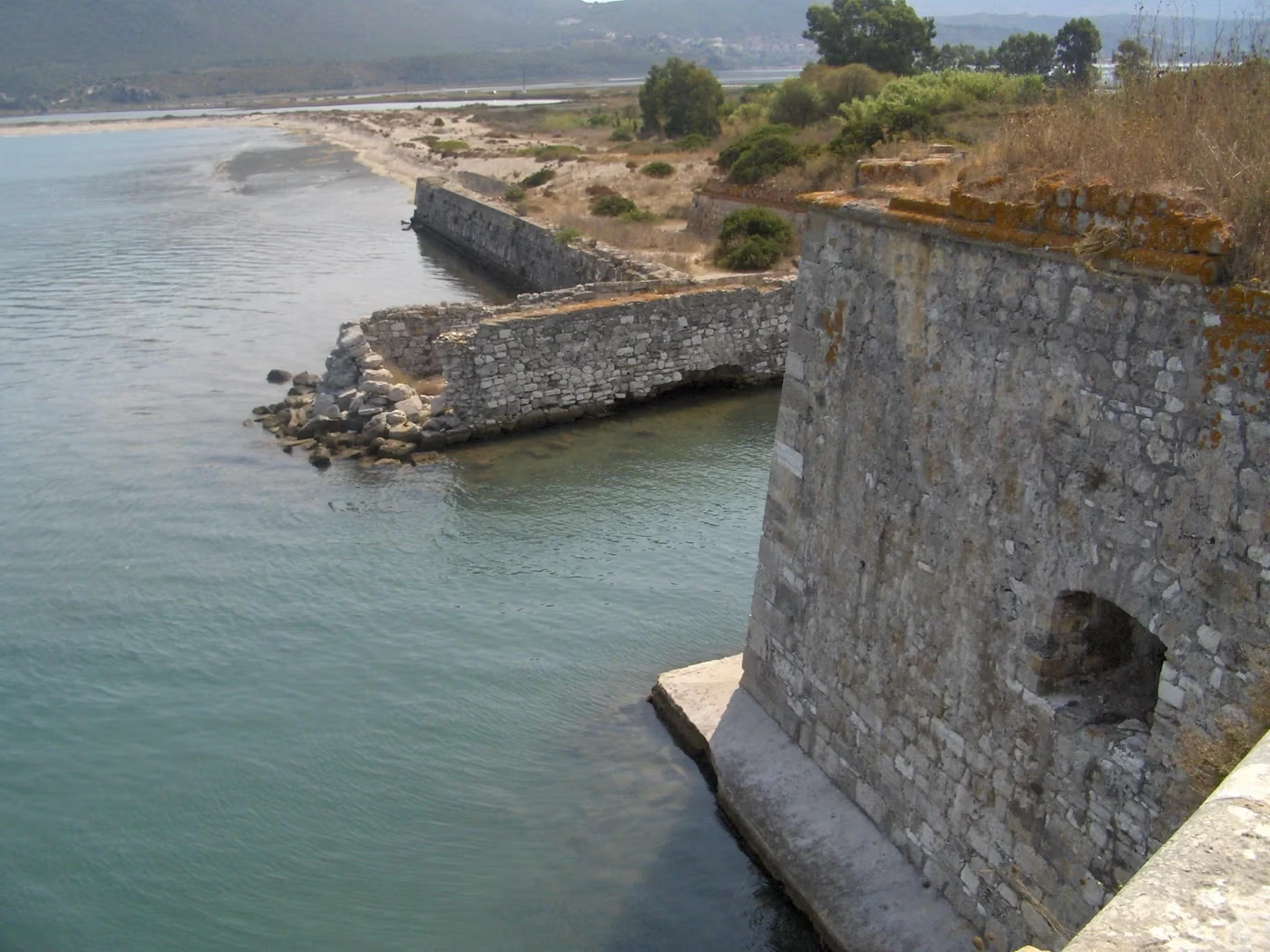
“The coastal castle of Santa Maura stands at the land entrance to the island of Lefkada.”
Hellenic Ministry of Culture, translated from the Greek
The road into Lefkada crosses a narrow zone containing a movable bridge, a navigation channel, Santa Maura fortress and a protected lagoon. Their documented histories show how governments defended and engineered the route between mainland and island, while fishing and conservation continued around it.
The entrance between land and sea
The Hellenic Ministry of Culture places the fortress approximately 1.2 kilometres northwest of the modern town. From this position, Santa Maura controlled the land connection and sea routes towards the Adriatic and the Amvrakikos Gulf.
The first small rectangular fort was built around 1300 by Ioannis I Orsini. The Ministry states that no visible remains of this earliest structure survive. The walls seen today belong to later phases of construction.
Construction across six regimes
Calling Santa Maura “the Venetian castle” compresses several regimes into one label. The site passed through Frankish, Ottoman, Venetian, French, Russo-Ottoman and British phases. The basic irregular heptagonal form and several of the principal bastions visible today were created during the second Ottoman period, especially in the late sixteenth century. Venetian engineers modified the defences before and after the Ottoman phase, and British rule added another layer.
Cesare Pesaro modernised the defences for artillery during a brief Venetian occupation in 1502–1503. Ottoman enlargement followed between 1503 and 1684, when Francesco Morosini captured the fortress for Venice. After 1718, Johann Matthias von der Schulenburg directed further work. From 1810 to 1864, the British adapted or added barracks, a hospital, prison and lighthouse.
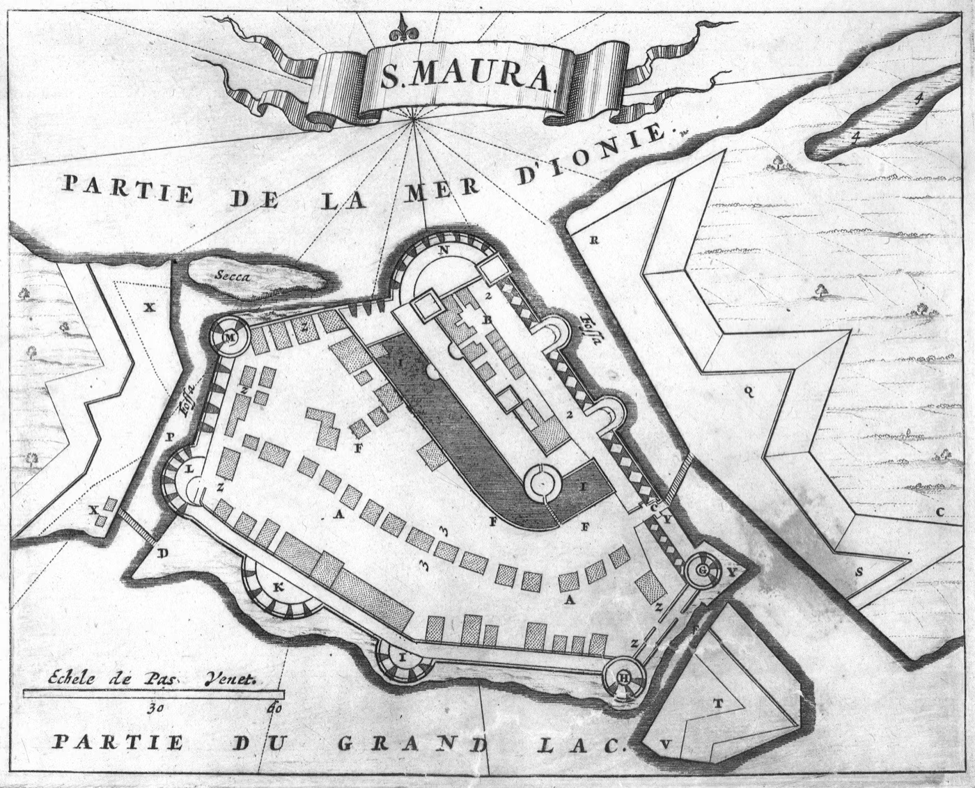
Masonry was repaired, reused and re-faced. Santa Maura’s present form includes work from several regimes, so a bastion’s appearance alone cannot identify its builder. For a coastal fort’s approved restoration study, read Pantokratoras Castle.
British roads, canal and bridge
British administration altered both the fortress and its approach. The Ministry records the replacement of wooden bridges with stone, the opening of the navigation canal and construction of the sea road towards the capital. These interventions treated the threshold as infrastructure: a route to defend, drain, cross and keep open to vessels.
The modern connection retains that double requirement. A technical description issued by the Region of the Ionian Islands identifies the movable bridge Agia Mavra as a vessel with ramps at both ends. The specification gives an overall length of 71.008 metres, a nine-metre road deck and a weight of approximately 390 tonnes. It pivots so that the navigation channel can be cleared.
The technical description records the bridge’s dimensions at the time of issue. Equipment, temporary replacements and opening procedures can change, so practical travel advice requires a current check with the responsible authority. The road entrance carries land traffic while keeping a passage open for vessels.
Protected lagoon and working fishery
The lagoon belongs to the Natura 2000 site GR2240001, which covers the Lefkada straits lagoons, Palionis, Avlimon and the saltworks. The European Environment Agency’s EUNIS record gives an area of 2,120.68 hectares, or about 21.2 square kilometres. It identifies a mosaic that includes coastal lagoons, annual Salicornia vegetation, Mediterranean salt meadows, halophilous scrub and embryonic dunes.
The same record lists 53 species covered by the relevant European directives: 45 birds, two fish, one mammal and five reptiles. This conservation inventory cannot predict the animals present at a particular hour.
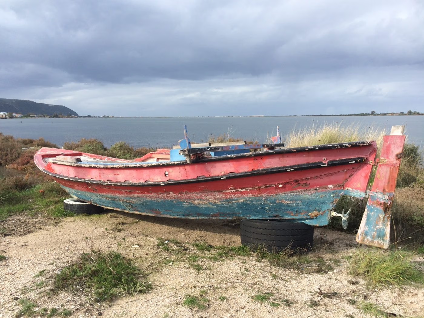
The lagoon lies beside the town, carries the effects of engineering and supports fishing. Research on the Paleo and Avlemon lagoons describes shallow systems linked to fish migration and a working fishery. Ecological processes and long human use have shaped this protected habitat. Oiniades examines a former harbour that now lies inland.
Lefkada lagoon is formally documented as a Natura 2000 site. Greece’s official Ramsar inventory lists ten wetlands, with Lefkada absent from the list. A municipal page uses the Ramsar name, but the Ramsar Sites Information Service supplies no corresponding international designation.
The 1864 handover
Santa Maura was the site of the British handover in 1864. The Ministry of Culture records that at dawn on 21 May the British garrison departed aboard the frigate Magissa, the British flag was lowered and the Greek flag raised.
The local date, 21 May, uses the Julian calendar then in force. British-oriented records give the same handover as 2 June in the Gregorian calendar.
What visitors can verify at the entrance
From public and marked routes, visitors can examine the bridge and navigation channel, and how the fortress faces land and water. Shallow water, salt vegetation, the Gyra barrier and fishing structures define the lagoon and record its continued use.
Heat conditions, archaeological-site access and bridge operation should be checked close to a visit. In the wetland, keep to public routes, use binoculars or a telephoto lens, and avoid approaching roosts, nests, salt meadows, dunes and fishing installations. The August 2026 full-moon guide records a dated example of special evening access.
Extended Read
For the political system that governed Lefkada during the British phase, continue with The Ionian State Before Union: What British “Protection” Meant. The companion article follows the 1815 treaty, the 1817 constitution and the process that ended at Santa Maura in 1864.
Related reading: Agios Minas: the church at the entrance to Lefkada’s bazaar; Lefkada: A Short Historical Chronology.
Further Reading
- Hellenic Ministry of Culture: Santa Maura castle history
- Hellenic Ministry of Culture: restoration and visitor-route project
- European Environment Agency EUNIS: Natura 2000 site GR2240001
- Spyrou et al.: geological and ecological assessment of Lefkada lagoon
References
- Hellenic Ministry of Culture. “Santa Maura.” Castle Route. Accessed 31 July 2026.
- Hellenic Ministry of Culture. “The Castle of Agia Mavra reopens to the public.” 2024.
- Hellenic Ministry of Culture. Restoration and visitor-route project for Santa Maura. Accessed 31 July 2026.
- Region of the Ionian Islands. Technical description for maintenance of the floating bridge.
- Municipality of Lefkada. Access to Lefkada. Accessed 31 July 2026.
- European Environment Agency. EUNIS site factsheet for GR2240001. Accessed 31 July 2026.
- Zoulias, T., D. K. Papadopoulos and A. J. Conides. Study of the Lefkada lagoon fishery. Estuarine, Coastal and Shelf Science.
- Spyrou, E. et al. Geological and ecological assessment of Lefkada lagoon. Geosciences 12, no. 2 (2022).
- Ramsar Convention Secretariat. Greece country profile and official site inventory. Accessed 31 July 2026.
- Stampoulis, Konstantinos. “Lefkada – Santa Maura 6279.” 31 August 2007. CC BY-SA 3.0 Greece.
- Dapper, Olfert. “Santa Maura.” 1688. Nikos D. Karabelas Map Collection, Actia Nicopolis Foundation. CC BY 4.0.
- Horti, Kate. “Lefkada lagoon with a boat.” 29 December 2017. CC BY-SA 4.0.